Wrangler 4DR
Famous For Freedom


Following on from their Tips and Tricks for exploring Aotearoa by road, Topher and Bridget, along with Heaphy the Jeep Wrangler Rubicon, are back with more!
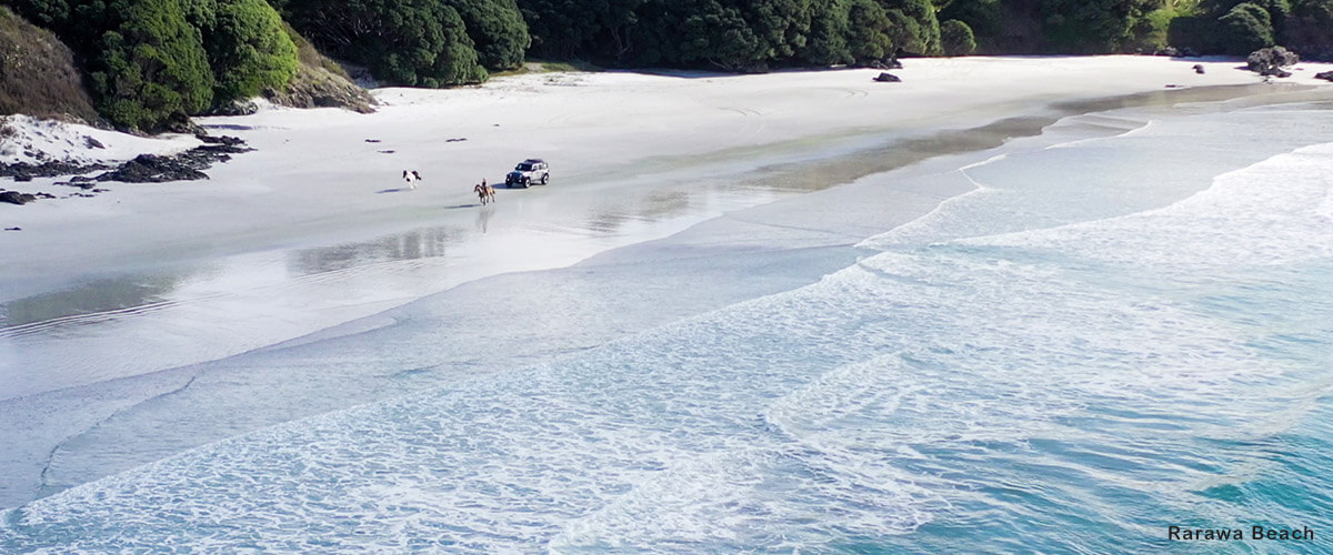
90 Mile Beach
It sounds a little frightening to risk your Jeep's life on a tidal highway, but it's an official highway for a reason. Providing you don't play chicken with the waves, the beach itself is solid and the chances of getting stuck are slim. If you're going as far north as the Cape, take your time to explore some of the eastern beaches on the way south. You can drive your 4x4 over the estuary and onto the white sand of Rarawa Beach. This is a great spot to have a picnic, or if you're looking for the world's most famous fish n' chip shop, there's always Mangonui just down the road. Once you're off the sand for the day, don't forget to wash down your undercarriage. You'll find a jet wash at the Z service station in Kaitaia, otherwise a garden hose will be ample.
The Forgotten World Highway
Also known more blandly as State Highway 43, The Forgotten World Highway is the only unsealed stretch of the state highway network. The road winds its way through thick native bush like a roller coaster all the way from Stratford in Taranaki to Tauramanui in the King Country. Don't forget your passport as you'll be passing through the Republic of Whangamomona where you can get it stamped at the local hotel. The republic has had an interesting line of presidents including a goat, a teddy bear and a poodle that narrowly survived an assassination attempt from a mastiff.
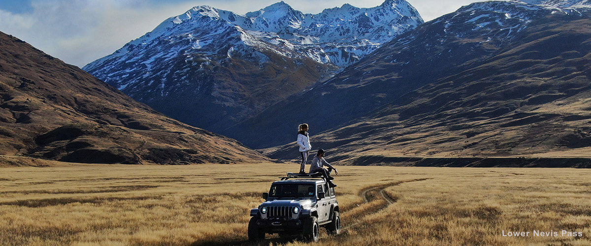
Lower Nevis Pass
This high country road provides access to the North Hector Mountains and takes you from Banockburn to Kingston through the picturesque Nevis valley. The road is open during summer months but is closed between Commissioners Creek and Southland District from June 1st to September 30th annually. The Lower Nevis will take up a large chunk of your day, so be sure to leave with plenty of daylight hours up your sleeve!
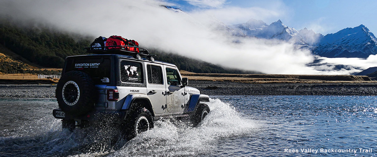
Rees Valley Backcountry Trail
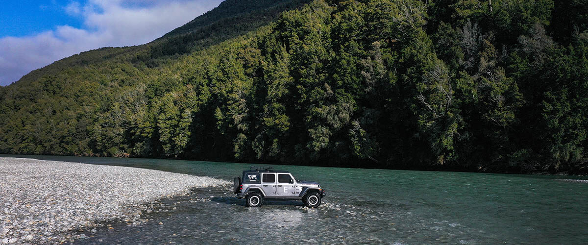
If you want to try crossing rivers in your Jeep, then we suggest starting at the Rees. Because of it's snow capped peaks and meandering river network, the valley was used as a filming location to resemble scenes from Pakistan in Mission Impossible 4. There is no marked trail, so you will be navigating your way through the valley on your own. There will be many river crossings so we recommend taking your time and checking the depth before crossing the first few to make sure it's a comfortable depth. The water temperature doesn't change much between summer and winter so you won't need waders. For winter light, we recommend setting off early as the sun can disappear behind the mountains. Take a picnic and enjoy the solitude!
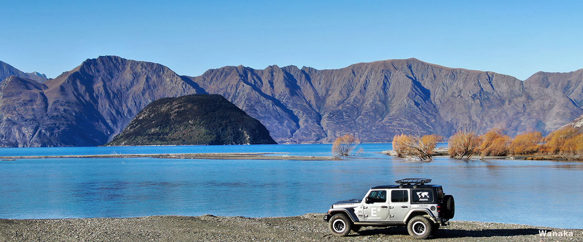
Wanaka to Mt Aspiring National Park
Although this is not a hidden road, there are many side trails to explore. Turn right down West Wanaka Road and you'll soon find yourself driving along a beautiful riverbed. This is a great spot to spend the night, so bring a table and chairs to watch the sunset on the mountains. You can also turn left and head up Treble Cone, and although typically used by skiers, it's home to some spectacular views. Follow the road to the end and you'll find yourself winding your way up Mt Aspiring National Park. Take a tent, togs and watch out for the cheeky Keas!
Mokihinui to Haast Pass
There are a few roads in the world that once you start driving, it's difficult to stop. Arguably one of the greatest stretches of highway, the world famous West Coast Road is one of them. Whether you're with your family, partner, friends or going solo, we recommend putting on some nostalgic kiwi playlists and winding the windows down. It will all make sense! We recommend putting the cameras away for the northern section, the photo's will never do it justice and it is important to enjoy the landscape through your own eyes. If the ocean is calm, you can wade out into the water and find an endless supply of muscles and occasionally pāua. If the surf is up, just hold tight because Haast has whitebait and white bread. After lunch, head down to Jackson Bay and test your eyes with some Greenstone fossicking.
Quick Tip: Use the See and Do Route Planner to work out timings between distances. A little faster than Google Maps.
Make sure to follow Expedition Earth on Instagram to keep up to date with their latest adventure.
ARCHIVE